Izaak Walton Angling
Society
2024
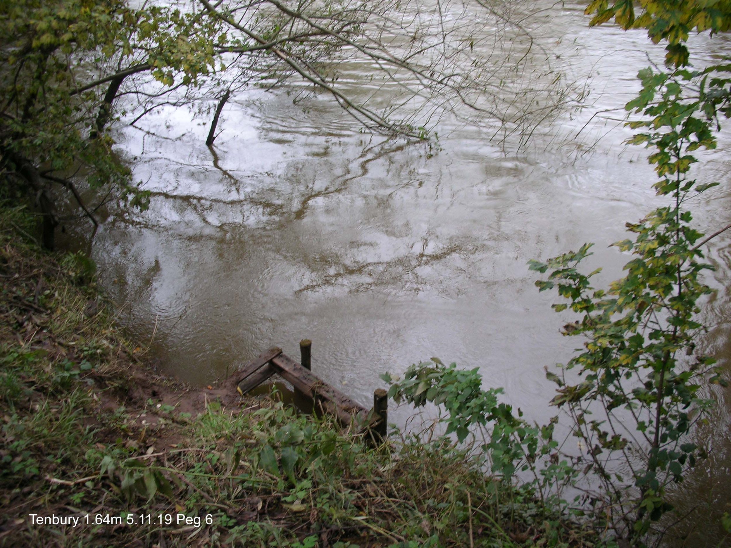
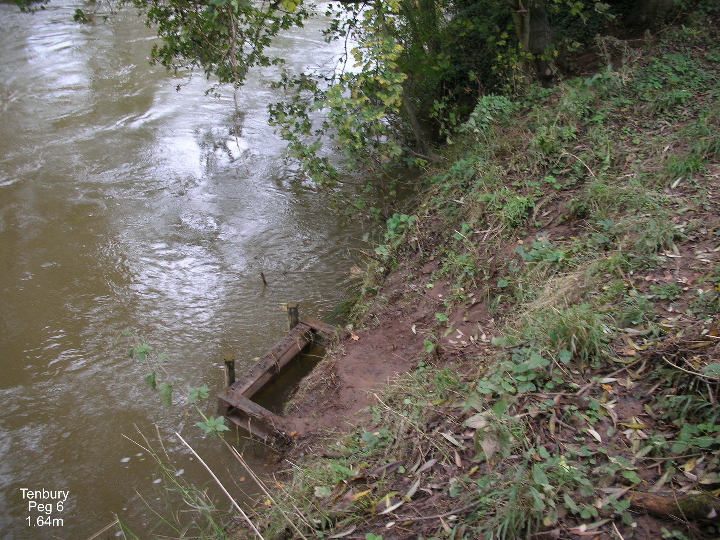
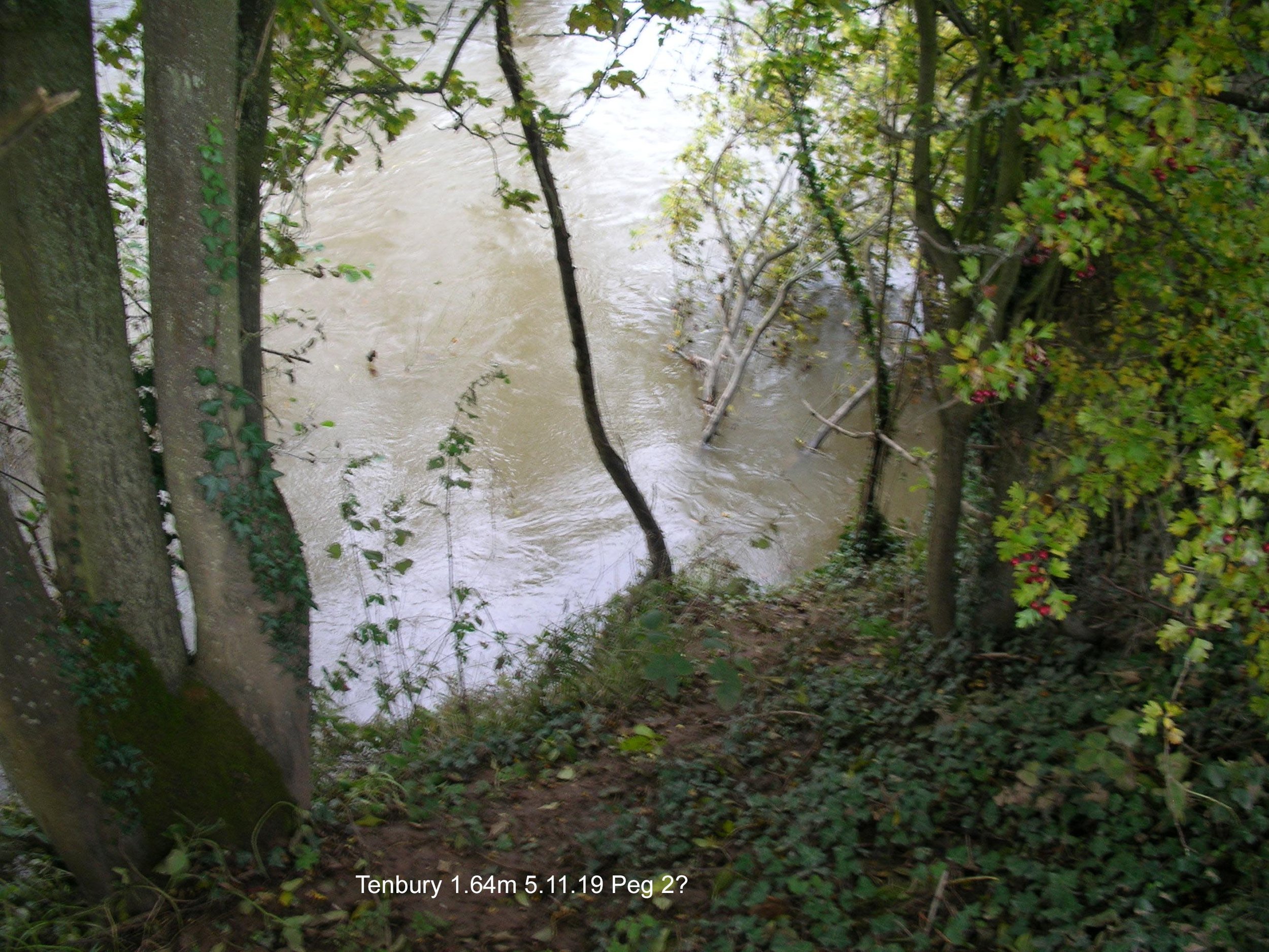
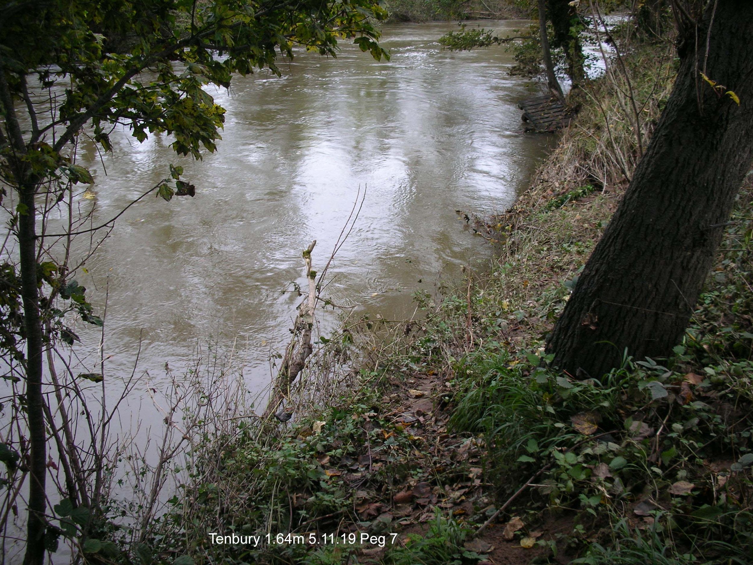
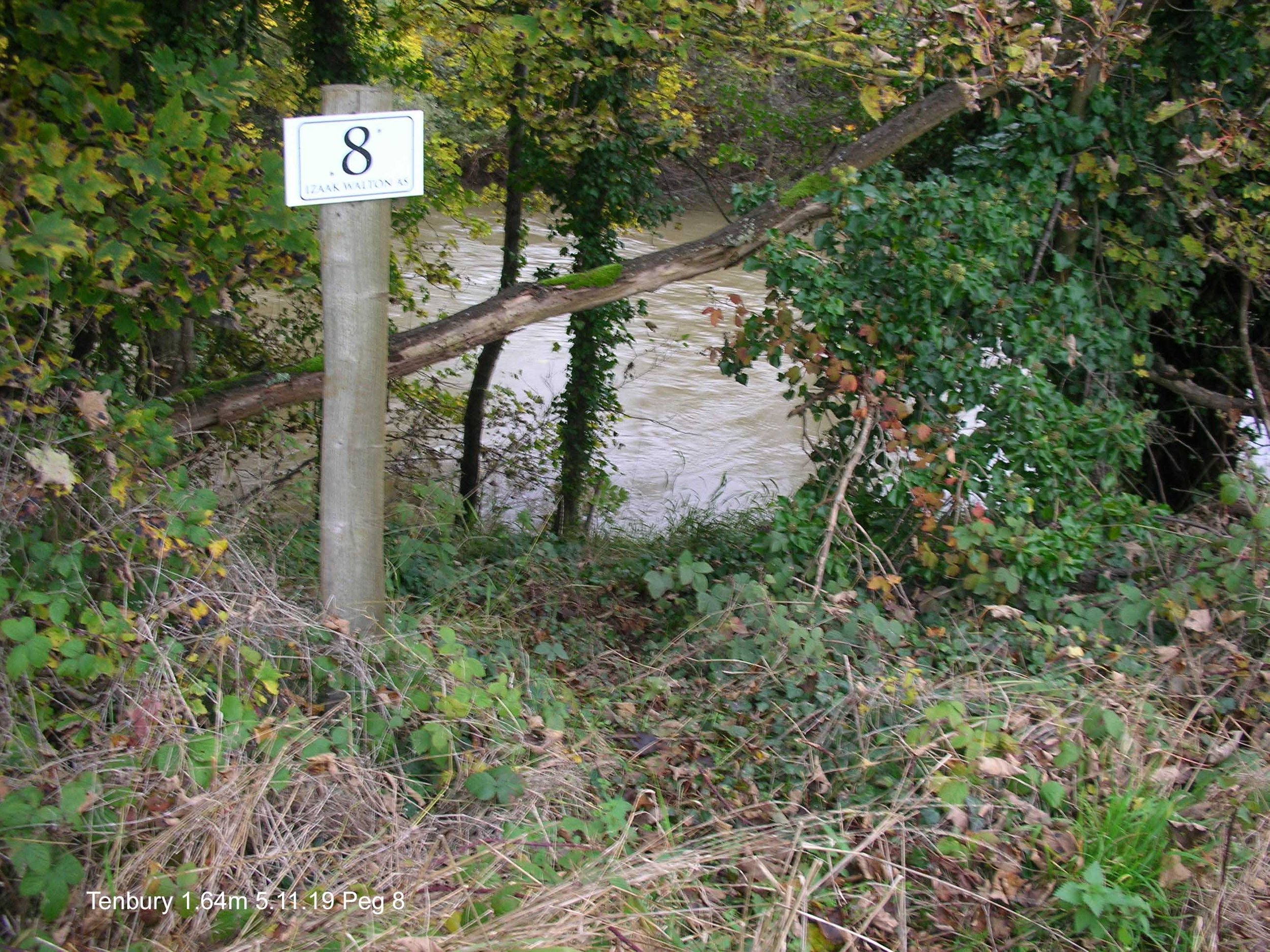
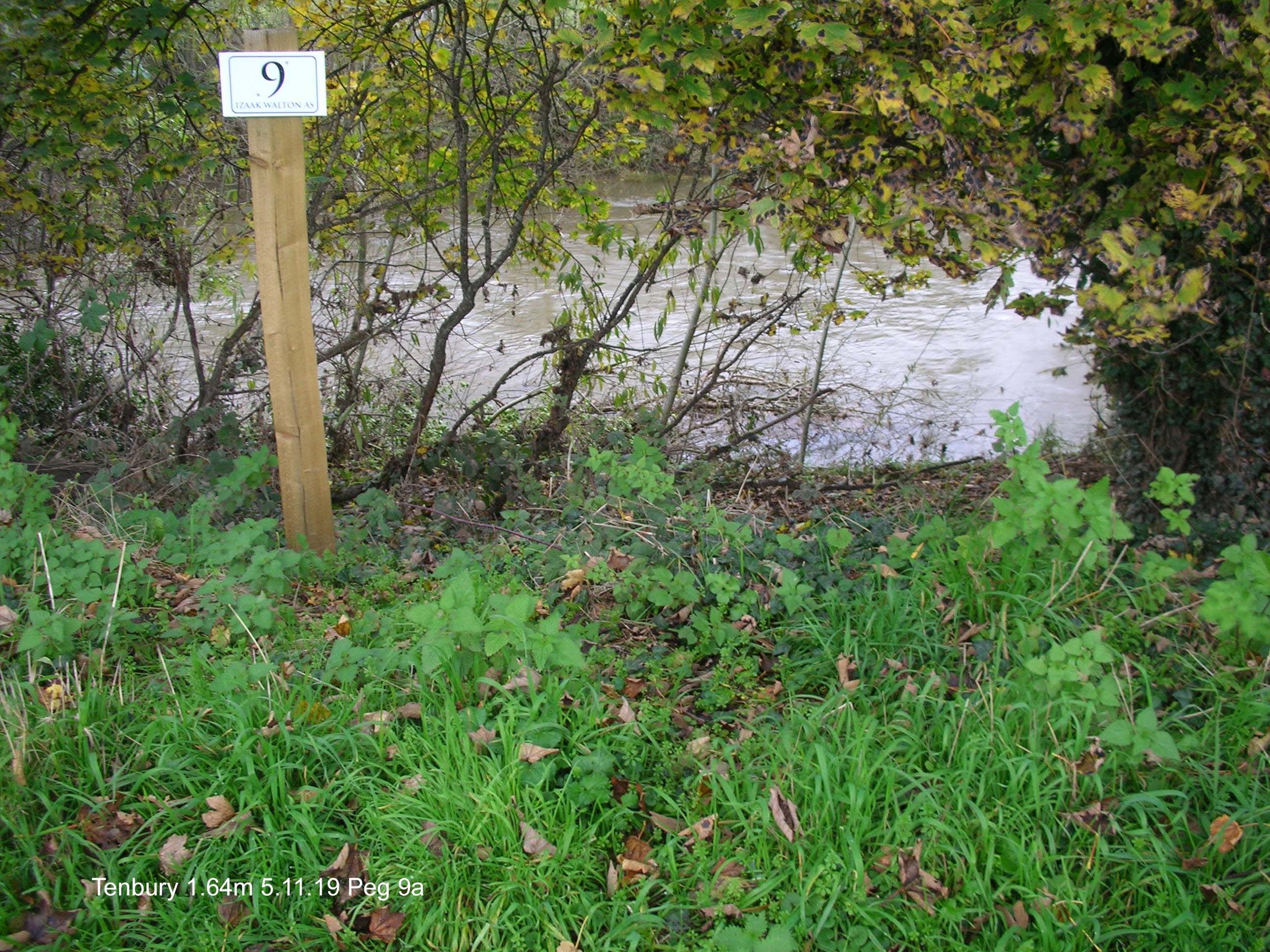
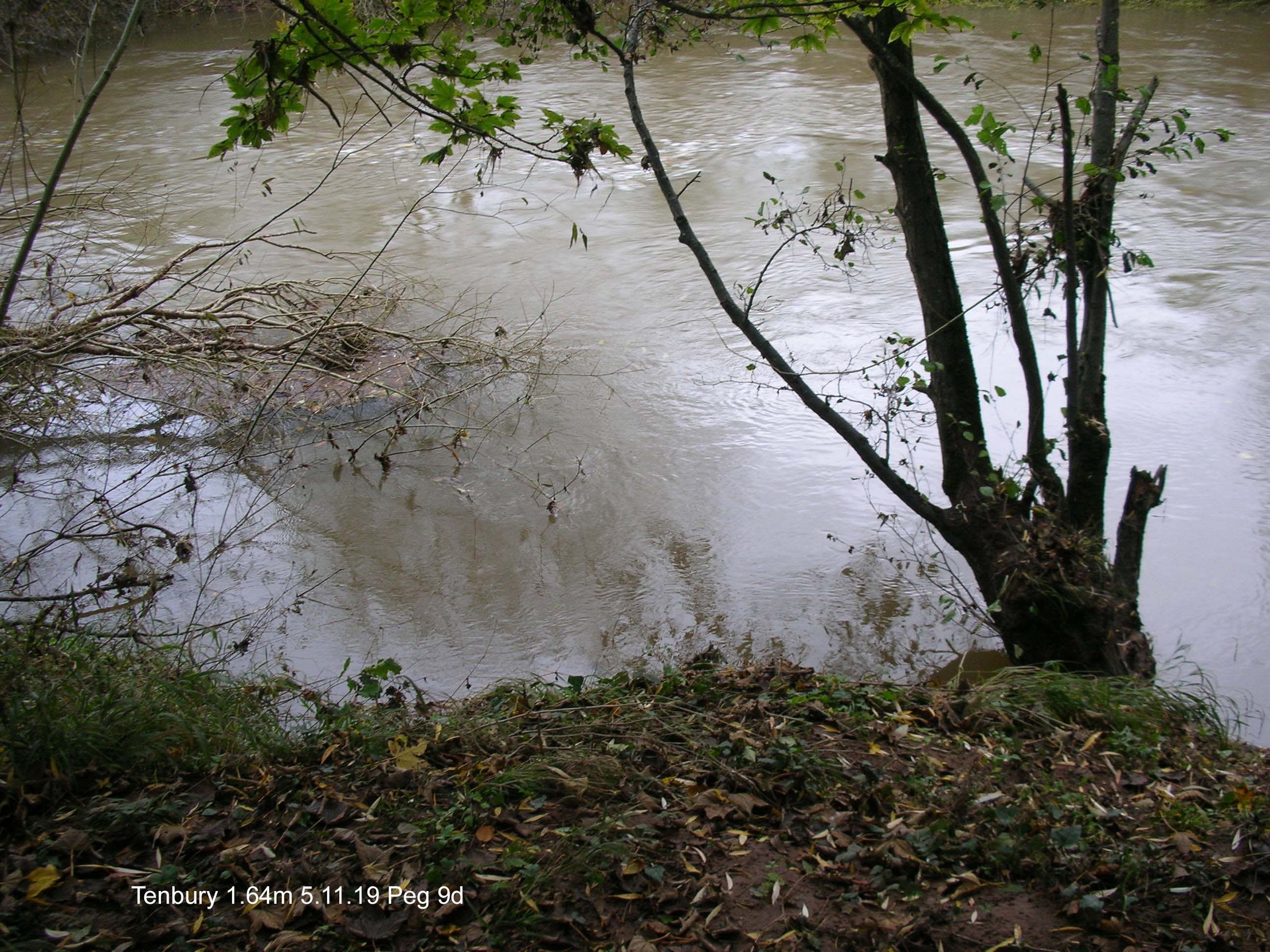
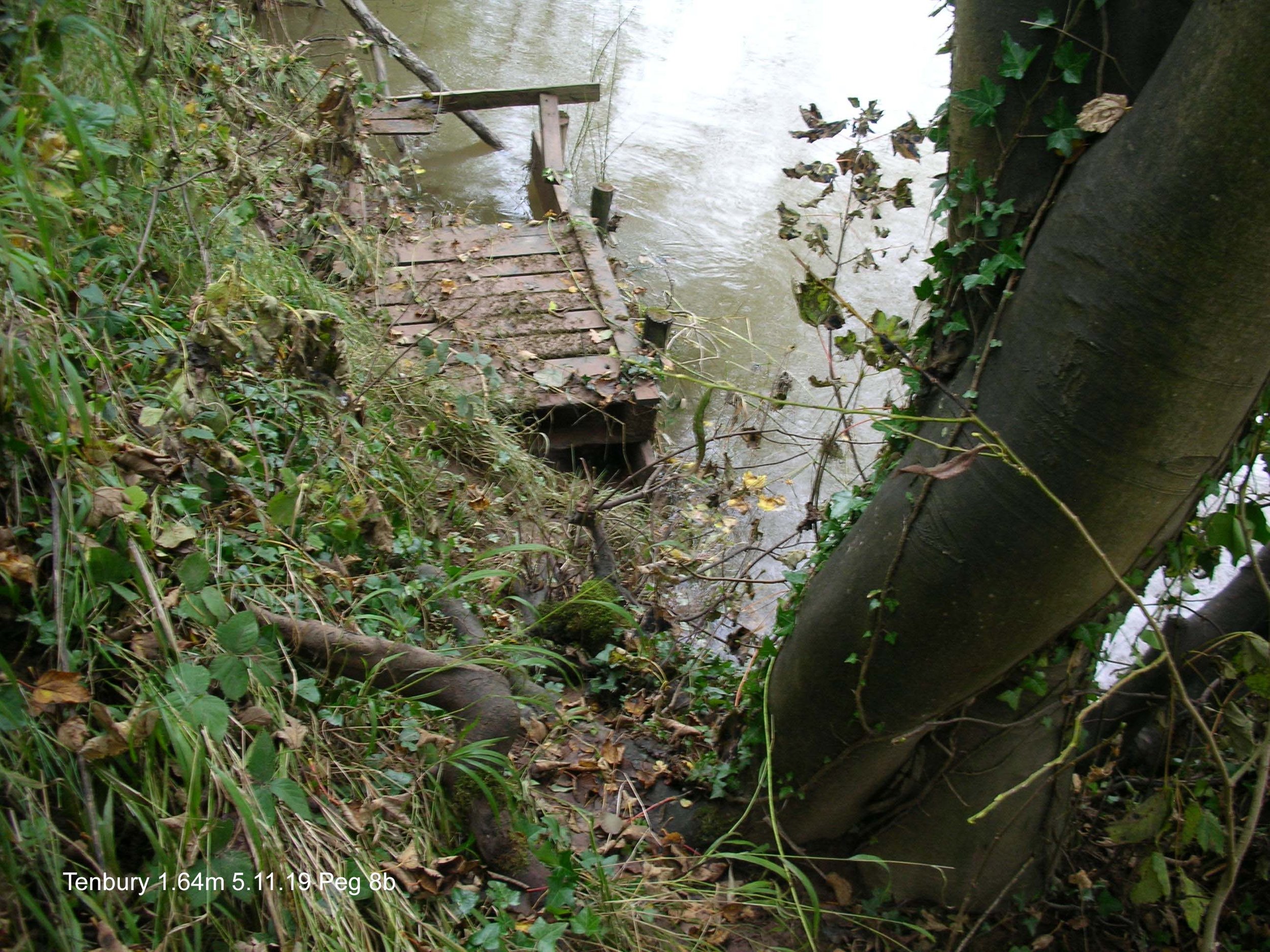
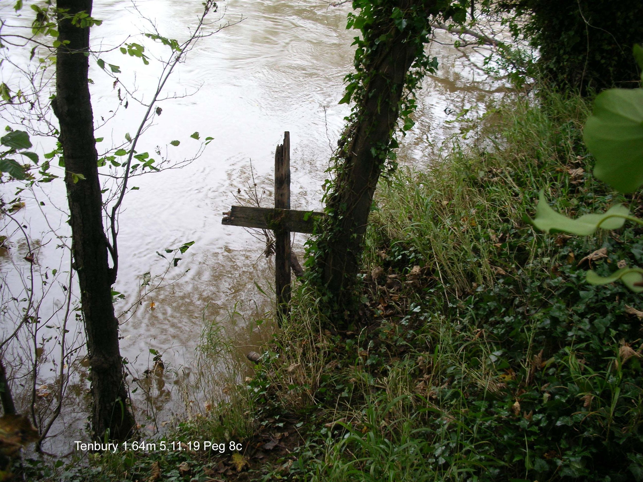
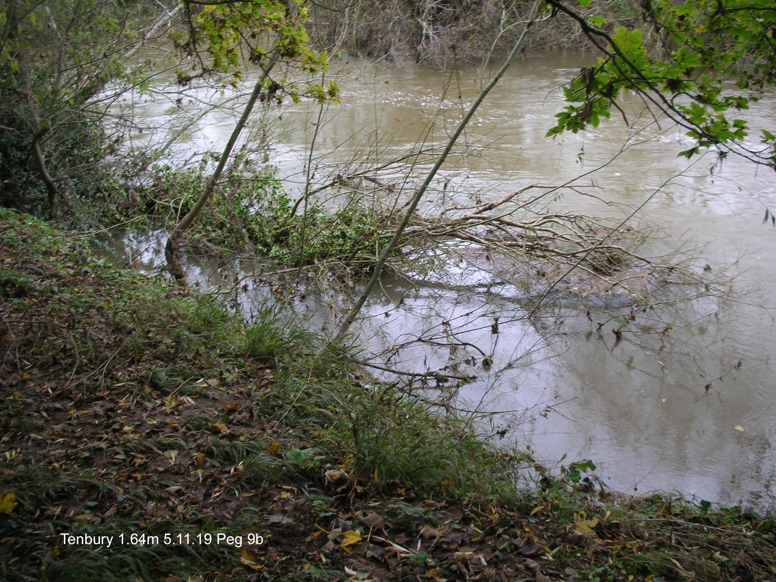
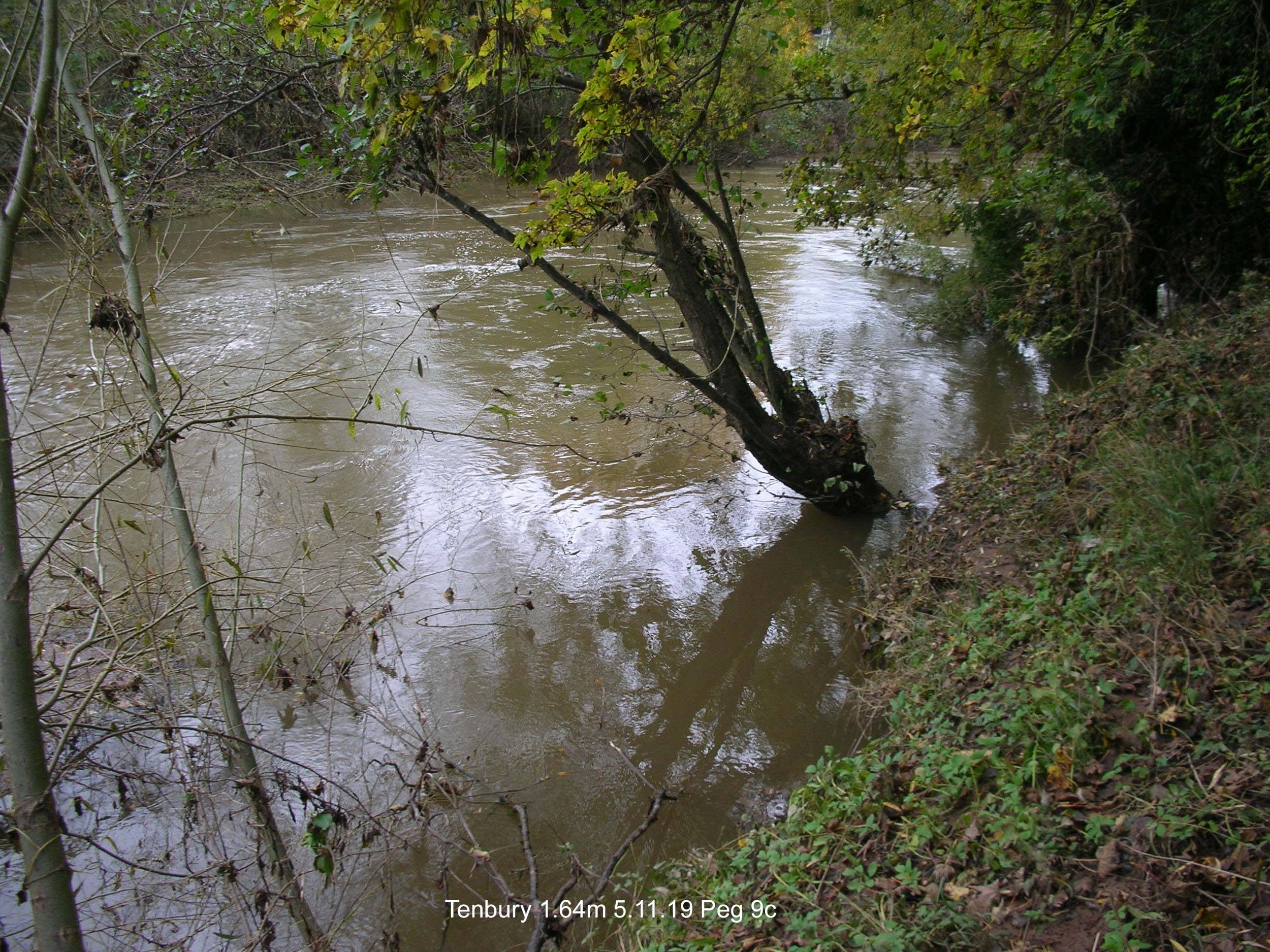
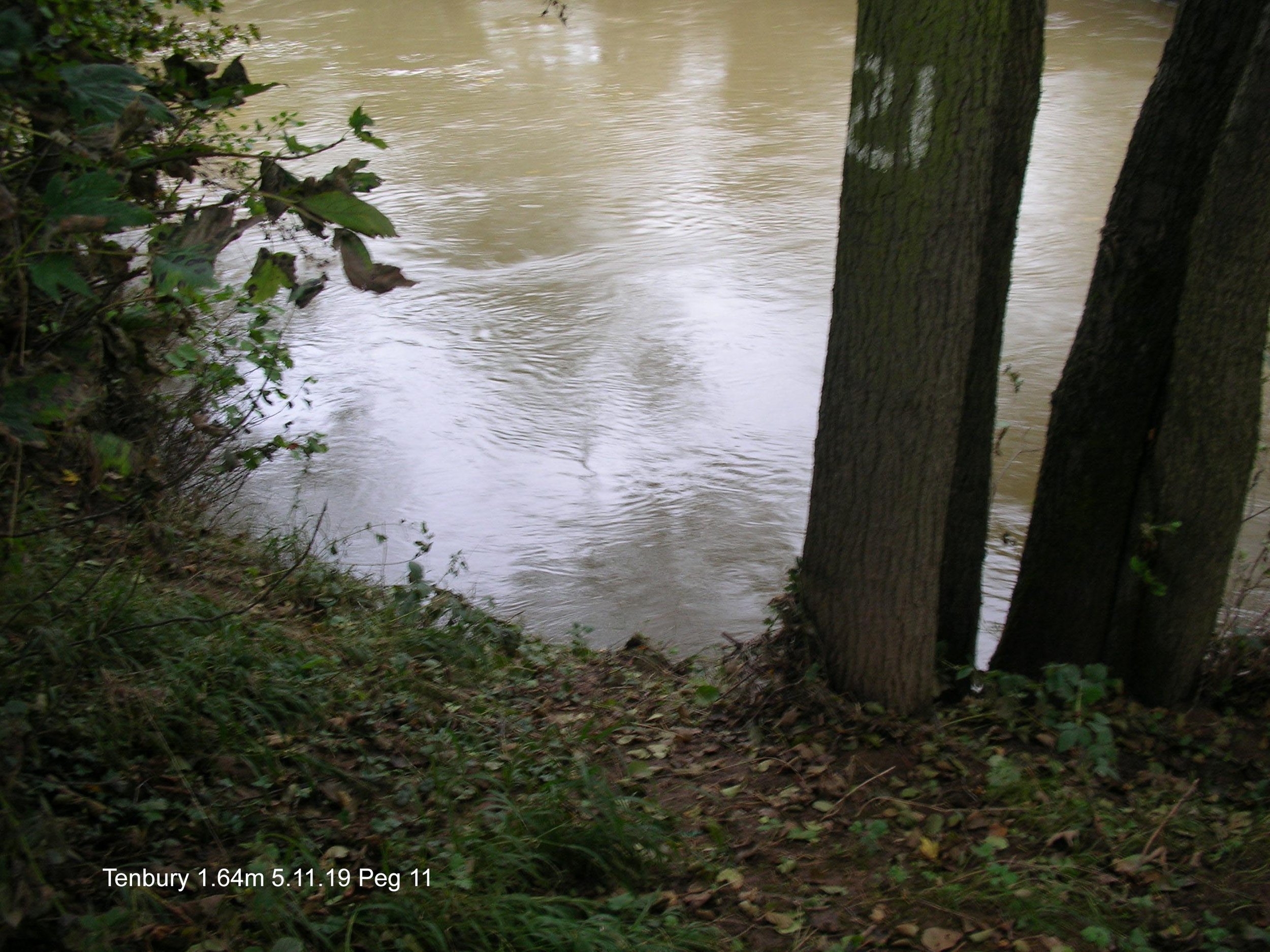
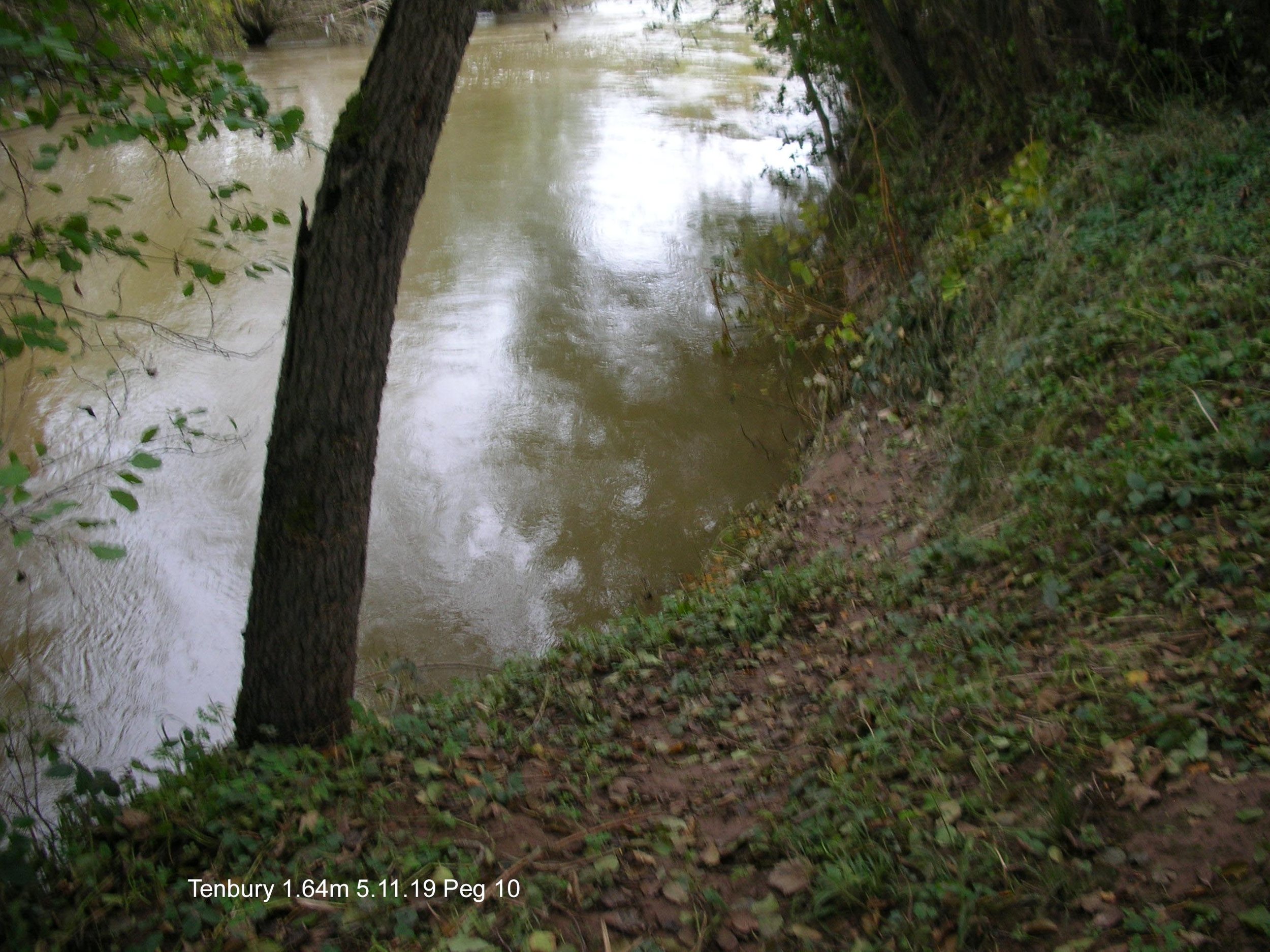
High Water at Tenbury 5 November 2019
{I have appended another set taken 18 November 2019 to the bottom of this set} And yet another on 3.12.19 at 1.20 m
A set of photographs to see how high the water reaches up the bank in relation to the height recorded by the Environment Agency monitoring station at Tenbury.
The monitoring station registered 1.64 metres for this set.
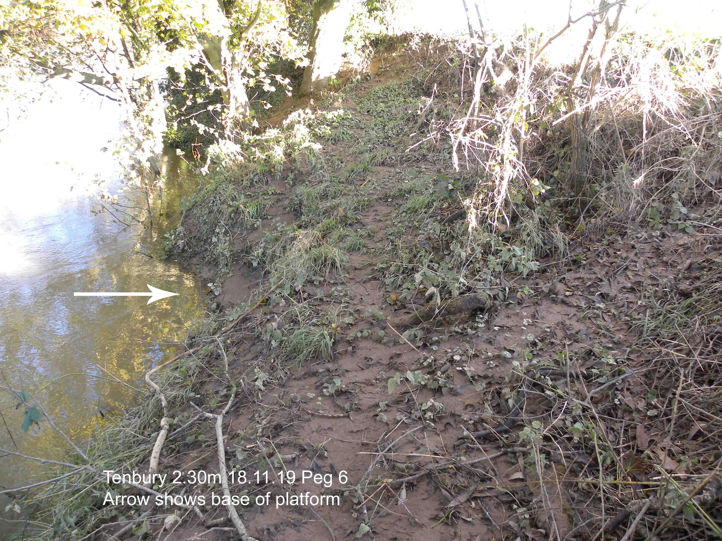
We are learning about our new water at Tenbury and were baffled by the positioning of fishing platforms high above the water. We had a competition there on 28 September 2019 and I fished the Bream Hole (Peg 6) from the remnants of a platform and found that my 3 metre landing net handle was hardly long enough. You can see from the images below the the water has been over that stage recently and certainly does not need a 3 metre handle to reach the water
Click on the image to enlarge it.
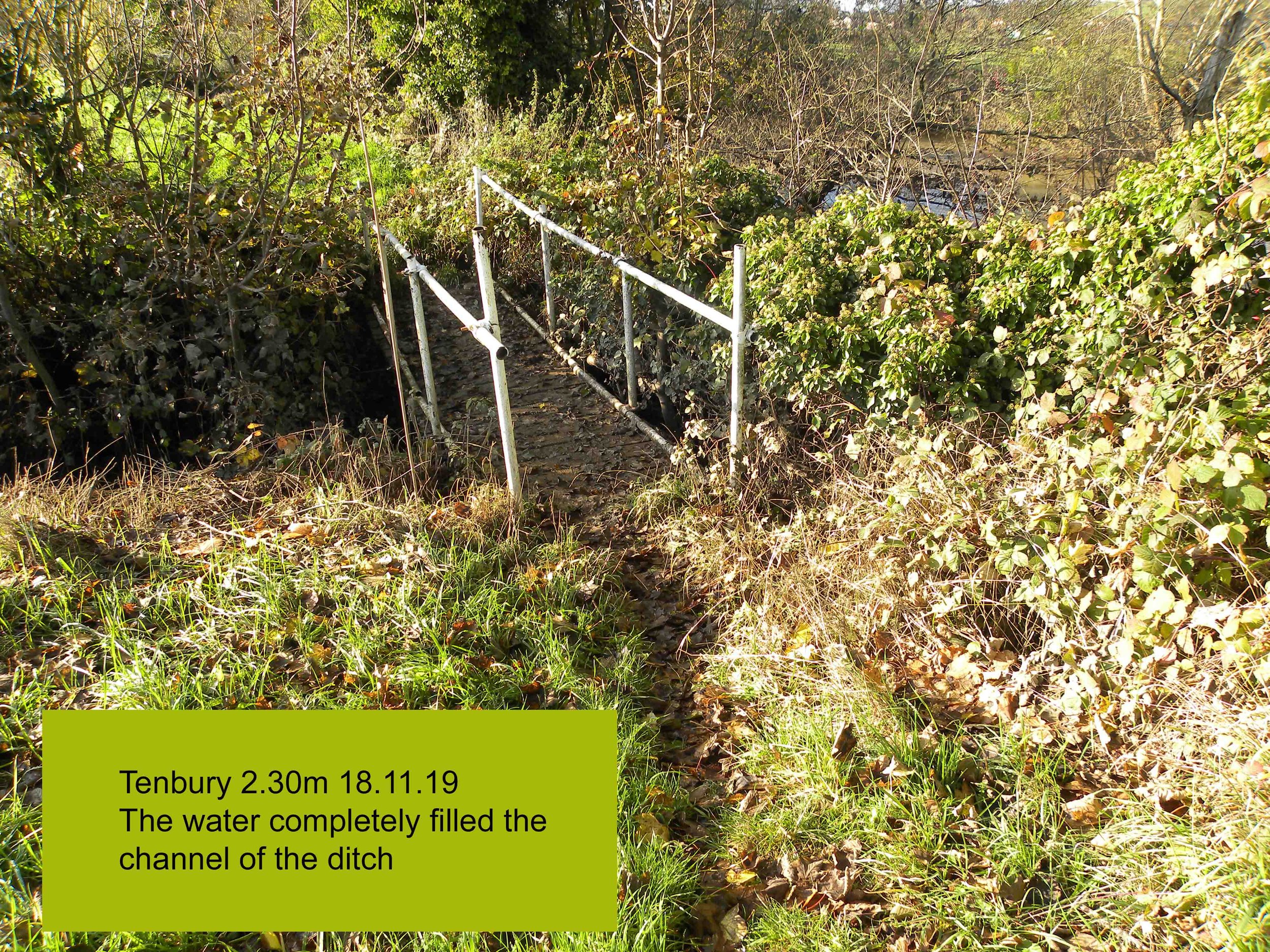
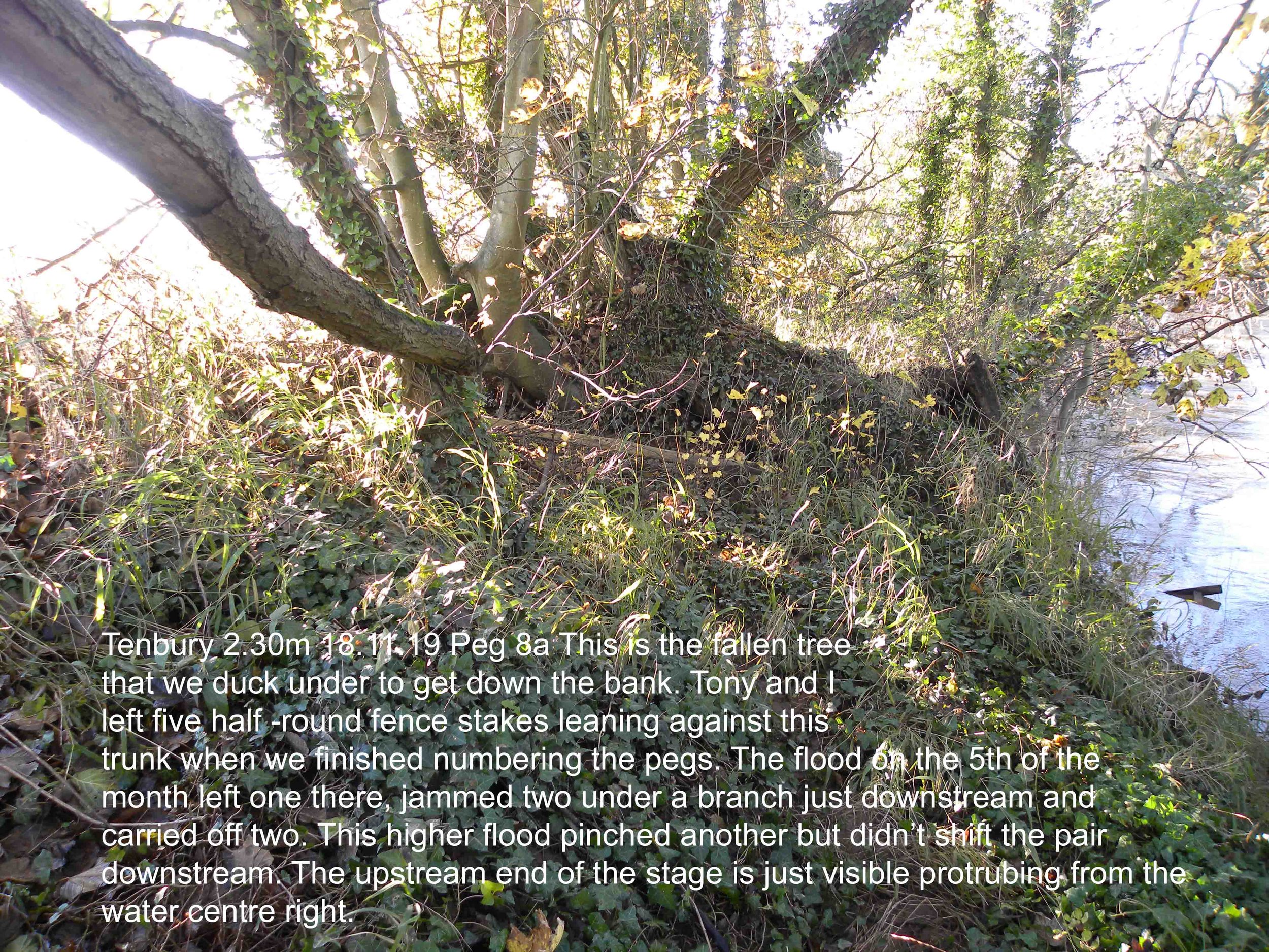
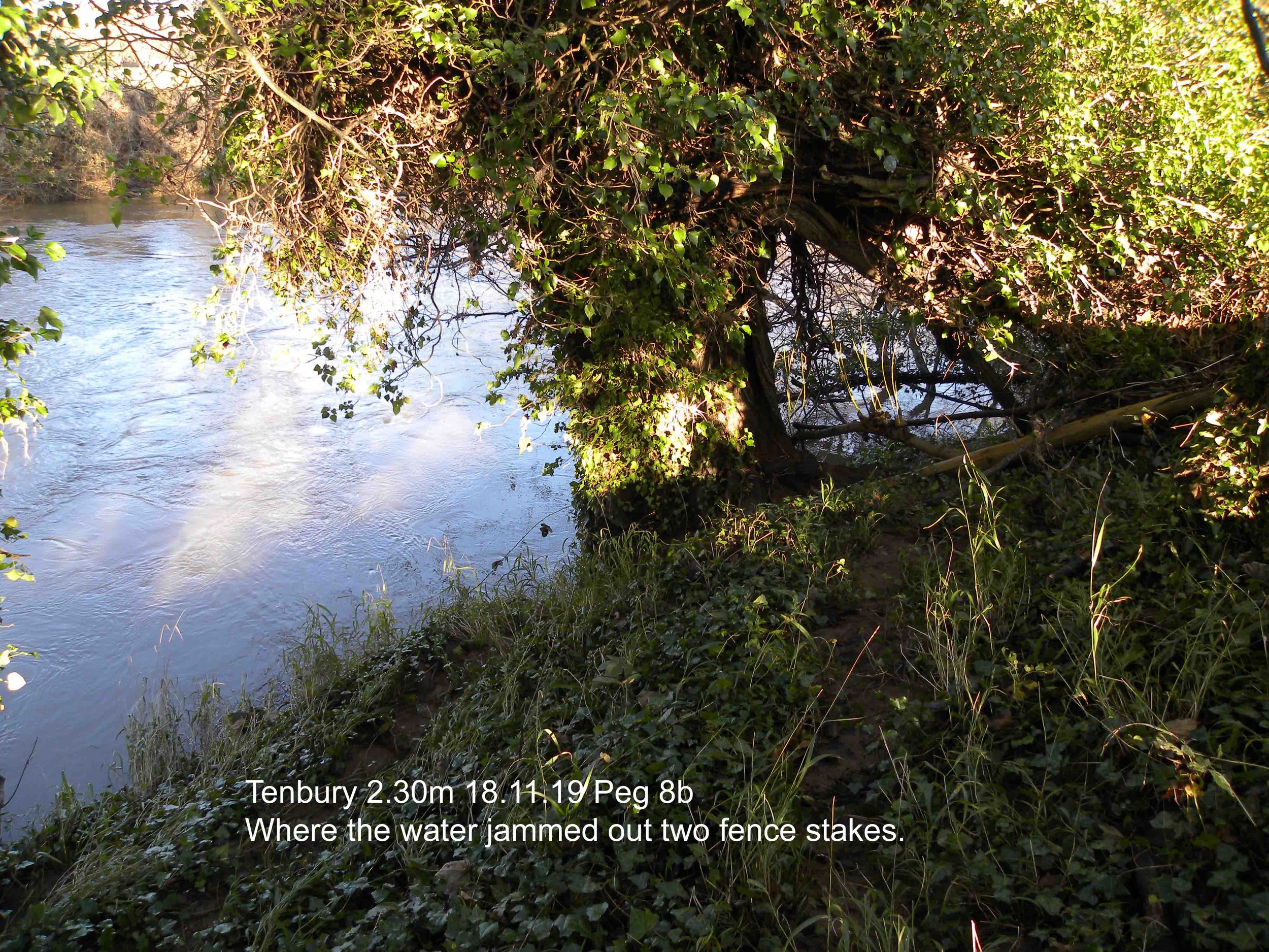
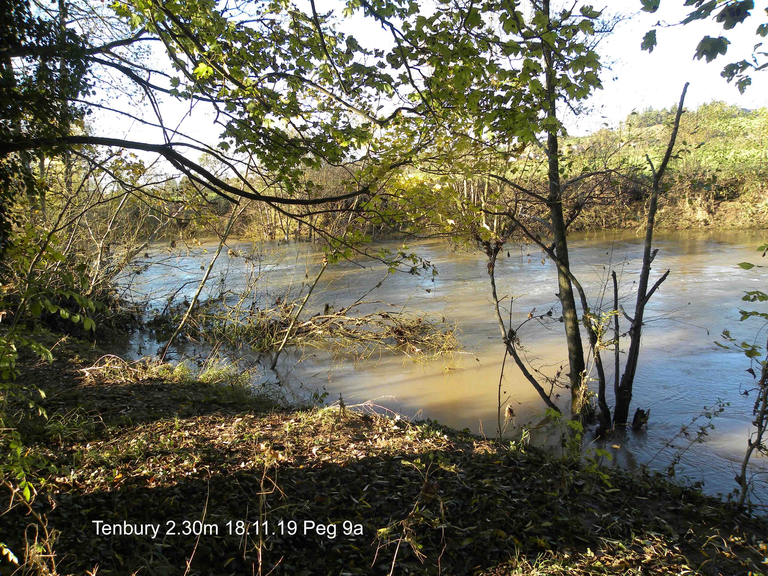
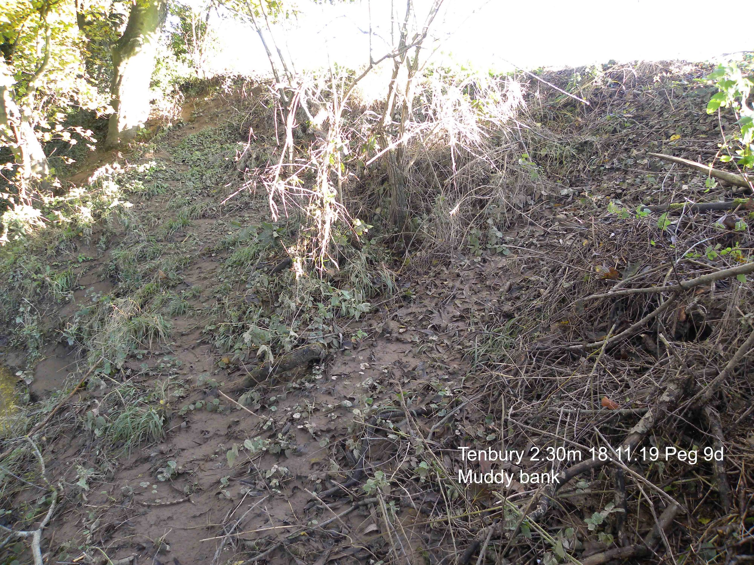
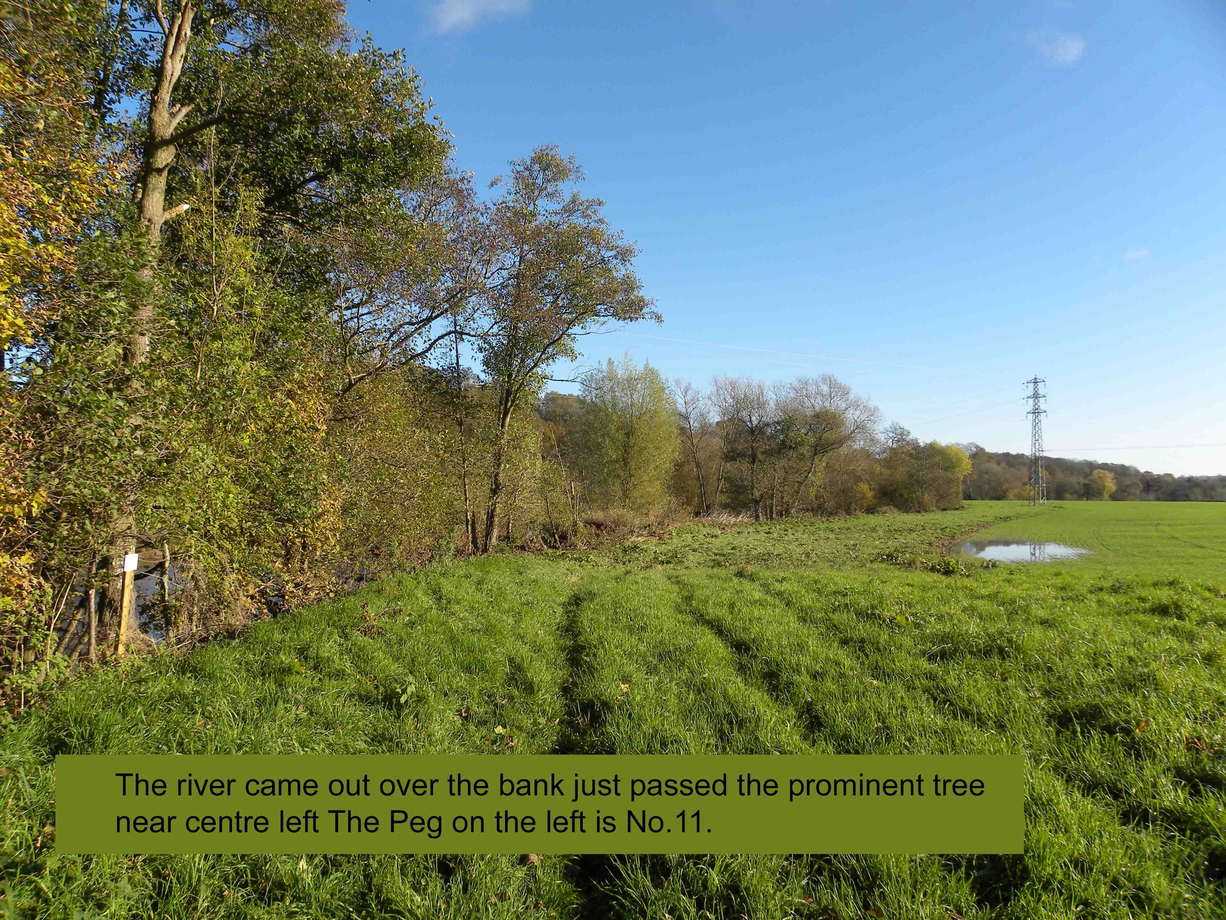
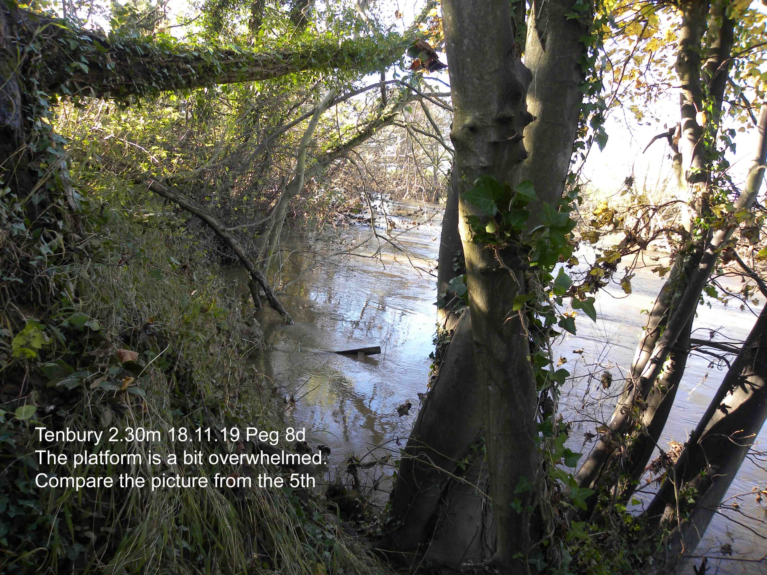
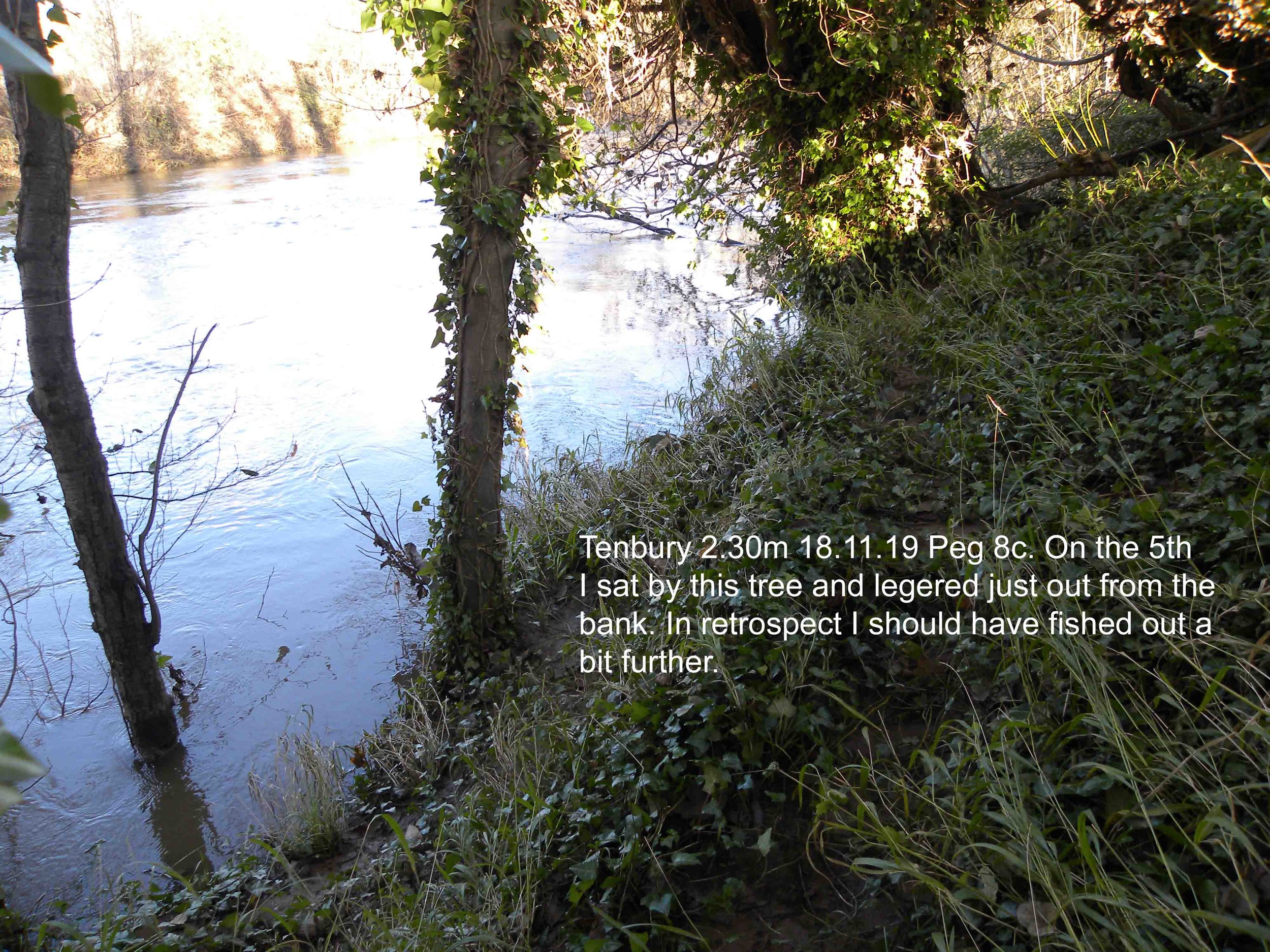
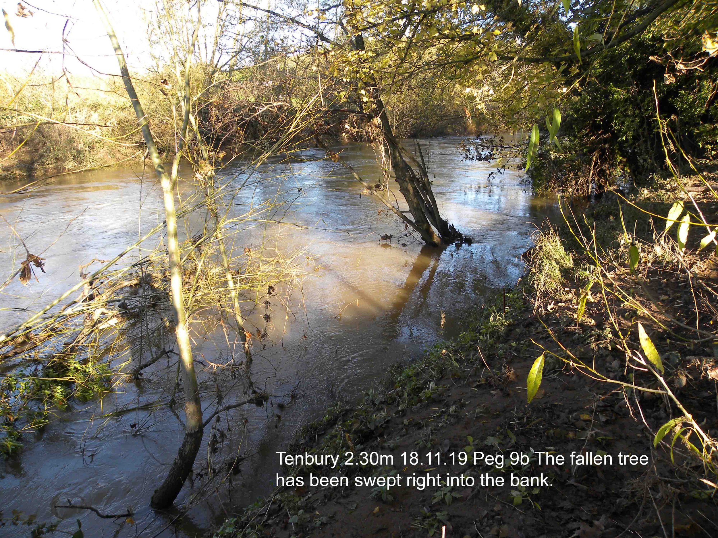
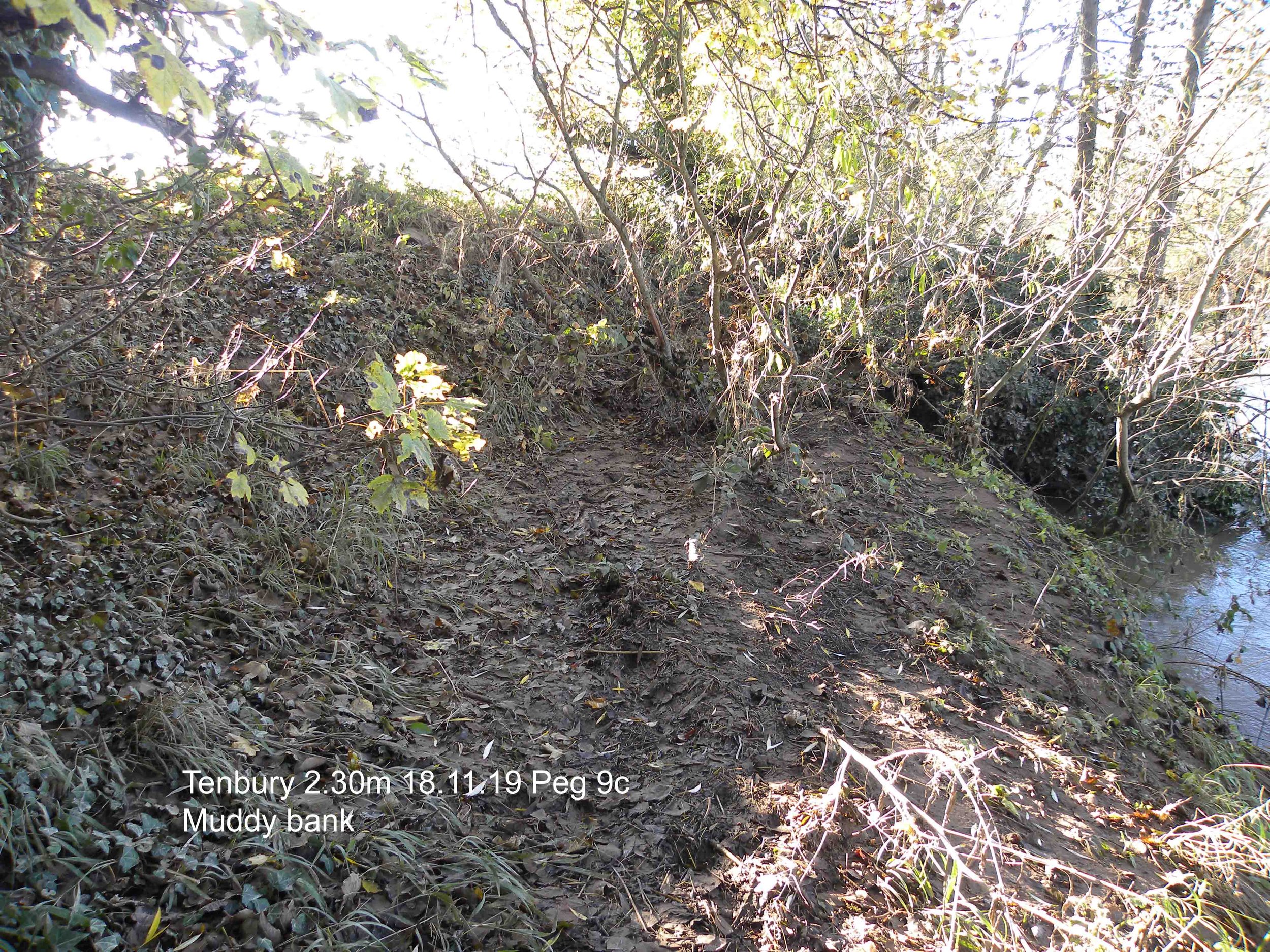
Set of photos taken 18 November 2019 when the monitoring station at Tenbury recorded 2.30 mm. The road at Newnham Bridge was still closed to traffic.
The river had reached a maximum of 5.15m on 15 November at 4.15 pm.
Another set taken on 3rd December 2019 with the monitoring station at Tenbury recording 1.20m


